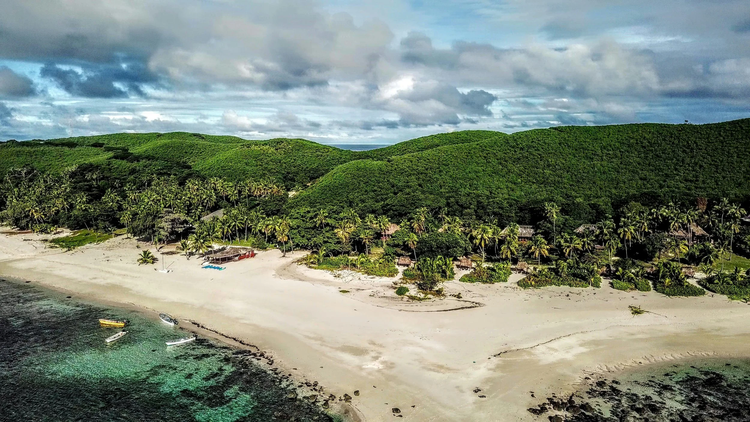
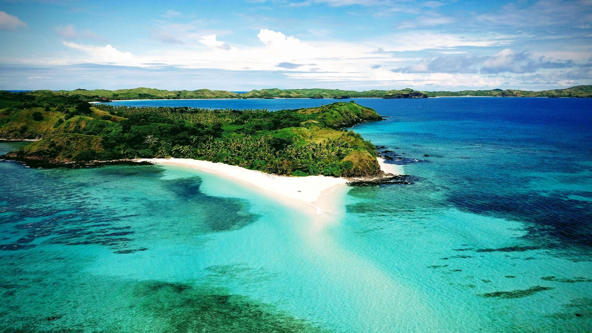
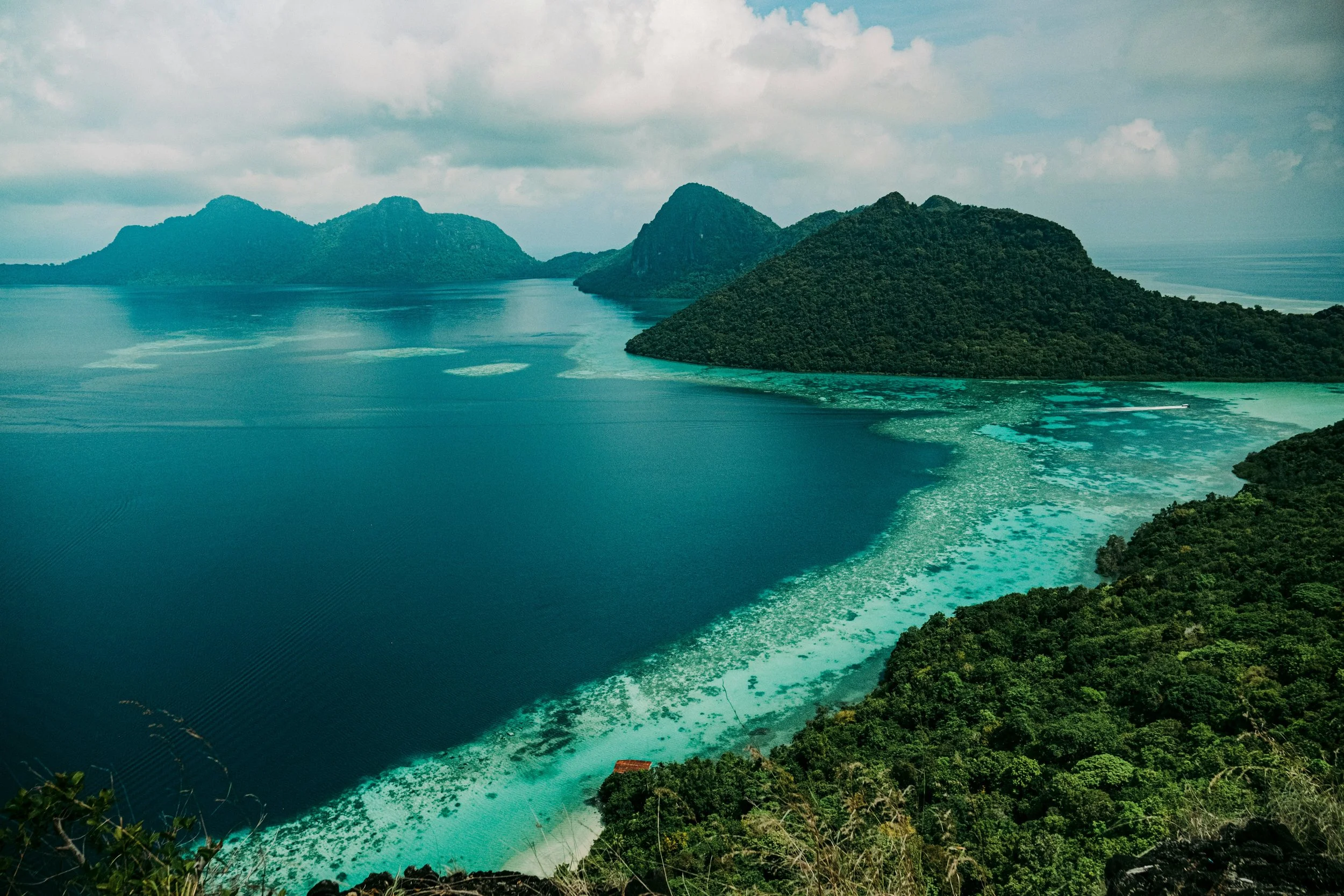
Bula! (Hello!) Welcome to Fiji!
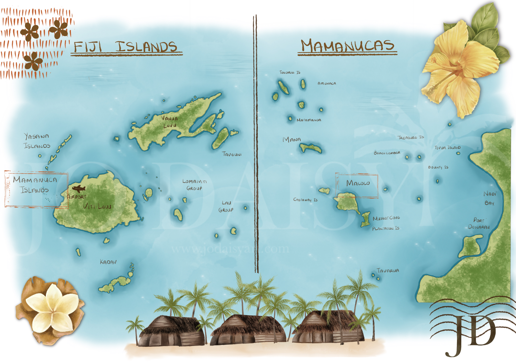
Fiji Island Maps by Jo Daisy
As you disembark from the plane, you are kissed by the warmest tropical breeze. The vibe is relaxed. Even through customs! And Fijian smiles welcome you with a string of shells around your neck. You made it! And you’re on Fiji time! Welcome!
So where, exactly is Fiji?
The island nation of Fiji is located in the south-west Pacific Ocean, approximately 3,100km north-east of Sydney, Australia and around 2100km north of Aukland, New Zealand.
It consists of an archipelago of more than 330 islands and over 500 smaller islets. Only around 110 of these islands is permanently inhabited by humans, with the largest islands being Viti Levu and Vanua Levu. The two large islands make up roughly 87% of the country’s total land area. Both the capital city, Suva and the main airport in Nadi are located on Viti Levu.
The Geography
The majority of Fiji’s islands were formed through volcanic activity. The larger islands feature rugged, mountainous interiors covered in dense tropical rain forest. Mount Tomanivi, the highest peak in the country, located on Viti Levu, rises to 1324 meters.
Spectacular coral reef systems extensively circle the islands, including the famous Great Sea Reef, acting as natural barriers against rough, ocean waves.
Fiji’s Climate & Regions
The wet season runs from November to April and the dry season, from May to October, but Fiji enjoys a warm, tropical climate year-round, making it suitable for travel at any time of year.
Two climate zones are created by the lofty volcanic mountain ranges running down the centres of Viti Levu and Vanua Levu. The Leeward (north-west) or dry side, receives less rain and enjoys consistent sunshine. This creates a hub for Fiji’s tourism industry due to the predictable weather. The landscape transitions into rolling grasslands and fields dedicated to sugar cane farming, a cornerstone of the local economy.
The windward side (south-east) or wet side intercepts the moisture laden trade winds resulting in year-round rainfall. These lush tropical rainforests with fast-flowing rivers are home to Suva, the capital.
The entire country is highly vulnerable to tropical cyclones during the wet summer months.
The Mamanuca and Yasawa Island Groups
The stunning groups of the Mamanuca Islands and the Yasawa islands, world-famous for their picture perfect geography, lie just off the western coast of Viti Levu.
A cluster of around 20 islands forms the Mamanucas, which sit closest to Nadi. Due to their proximity to the international airport, they are home to many of Fiji’s premier beach resorts and surf breaks, such as, Cloudbreak. The islands are mostly small, low-lying coral cays and volcanic remnants surrounded by crystal clear lagoons.
The more remote islands, the Yasawas, stretch further north, consisting of roughly 20 islands. These higher, more rugged volcanic islands feature dramatic peaks, some dropping straight into the ocean. They are wilder and less developed with vast stretches of untouched white sand beaches and deep sea caves, such as the Sawa-i-Lau caves.
The Great Sea Reef
Spanning over 200km in length, the Great Sea Reef runs along the northern arc of Vanua Levu, and is the third-longest continuous barrier reef in the world.
The reef acts as a massive natural wave-breaker, protecting the northern islands from destructive storm surges during cyclone season. At the same time, it provides a vital source of food and income for the dozens of traditional fishing villages along the coast.
The extensive reef is also home to a spectacular array of marine life, including endangered green turtles, spinner dolphins and thousands of unique fish species.
Now that you know where you are and have had a little primer in what’s ahead of us, grab your luggage as we ferry across the turquoise expanse to Malolo Island in the Mamanucas next week, and become acquainted with the rich island lore, the generous people and the stories that make these islands so much more than a picture.
Until then, Moce mada (goodbye for now in Fijian 🇫🇯😊),
Jo Daisy xxx
If you’d like to follow along as these places make their way from sketchbook to finished artworks, you can join me on Instagram @jodaisyart, where I share the whole journey. And if you’re travelling along with me through The Traveller’s Telegram, you’ll find a little piece of the journey arriving in your letterbox soon.
You can access The Archive for your free printables here.